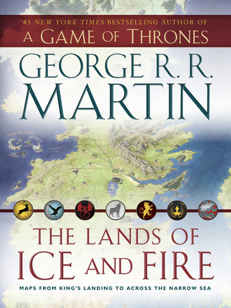
The Lands of Ice and Fire (A Game of Thrones)
Maps from King's Landing to Across the Narrow Sea
George R. R. Martin
Poster
October 30, 2012 | ISBN 9780345538543
About the Book
George R. R. Martin’s beloved series is bursting with a variety and richness of landscapes—from bitter tundra to arid wasteland and everything in between—that provide a sense of scale unrivaled in contemporary fantasy. Now this dazzling set of twelve foldable maps, featuring original artwork from illustrator and cartographer Jonathan Roberts, transforms Martin’s epic saga into a world as fully realized as the one around us.
The centerpiece of this gorgeous collection is guaranteed to be a must-have for any fan: the complete map of the known world, joining the lands of the Seven Kingdoms and the lands across the Narrow Sea for the first time in series history. But this is just one of many unique maps that aren’t available anywhere else. There is an alternate version that tracks the movements of the series’ protagonists through A Dance with Dragons, along with more detailed versions of the western, middle, and eastern thirds of the world; a full map of Westeros, combining North and South; one of the Dothraki Sea and the Red Wastes; and the Braavos city map. And here, too, are fan favorites detailing everything from urban sprawl to untamed wilds: maps of King’s Landing; The Wall and Beyond the Wall; the Free Cities; and Slaver’s Bay, Valyria, and Sothyros.
Never before has the entire scope of Martin’s universe been so exhaustively and fascinatingly depicted. The maps in this beautiful, one-of-a-kind collection will enrich your reading or viewing experience, provide another view of your favorite characters’ epic journeys, and open up captivating new worlds—plus, they’ll look great on any castle wall.


